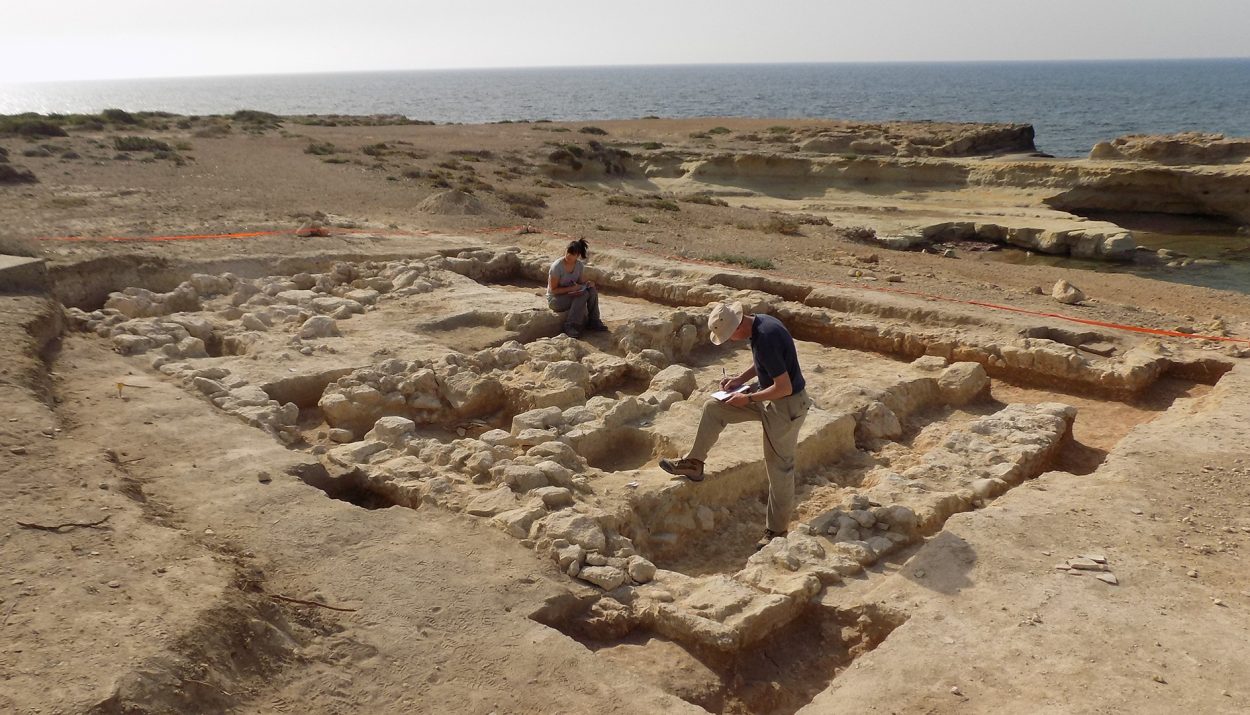
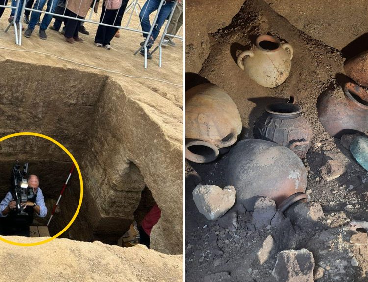
A team of archaeologists conducting a field study in the Eastern Sovereign Base Area at Dhekelia, on the island of Cyprus, have located several interesting and previously “lost” sites, including ancient tombs dating back to the Bronze Age.
Once they are fully investigated, these sites should give researchers more insight into Cyrus and its role in ancient history. Let’s look at the fascinating history of Cyrus from the Bronze Age until the present day.
Where Is Cyprus?
An island in the Mediterranean Sea, Cyprus is located off the coasts of Lebanon and Syria. To its north is Turkey. Its position at the eastern side of the sea made it a key strategic location. The third largest island in the Mediterranean, Cyprus is also rich in natural resources, including copper.
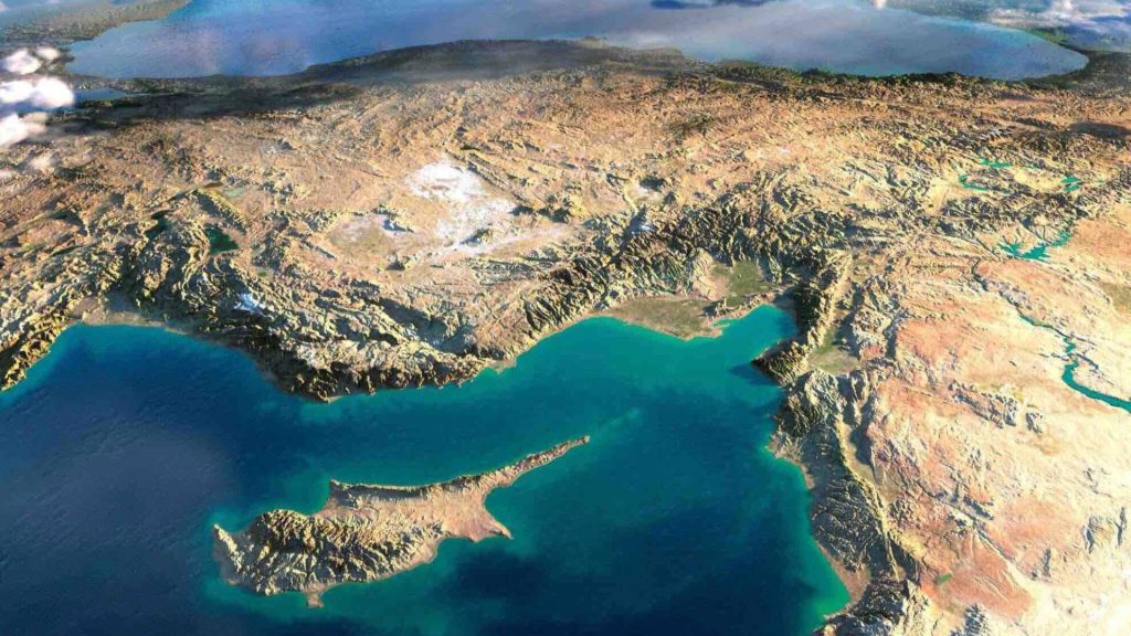
All this combined to make Cyprus a sought-after chunk of land. As we will see next, the island has a long history of human inhabitation.
Cyprus and a Cat
Archaeologists have found evidence of human inhabitation by hunter-gatherer groups from around 10,000 BC and additional evidence of permanent settlements from roughly 8200 BC. Well on the western part of the island have been dated to between 9,000 and 10,500 years old, making them some of the oldest wells ever found.

In an ancient Neolithic tomb in Cyprus, archaeologists discovered the remains of a young cat buried with a human. This grave dated to about 7500 BC, long before ancient Egyptian culture. This tomb offers evidence of the earliest known relationship between humans and cats.
Cyprus and the Greeks
Cyprus witnessed two waves of Greek settlers during the Bronze Age. Beginning around 1400 BC, Mycenaean Greek traders arrived on the island. When this settlement declined around 1050 BC, another wave of Greeks arrived.
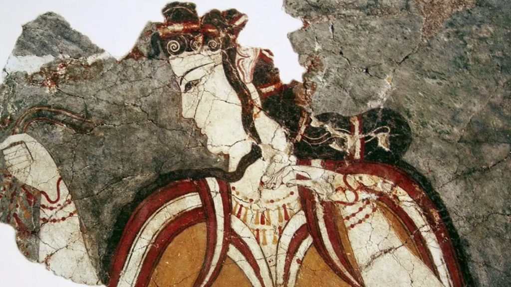
For the people of ancient Greece, Cyprus was a key location mentioned often in myths and legends. The island was thought to be the place where Aphrodite and Adonis were born. It was where King Cinyras hailed from and where Pygmalion lived.
The Rich and Diverse History of Cyprus
In addition to the Greeks, Cyprus had been ruled by the Egyptians, Persians, Assyrians, the Byzantines, Phoenicians, and the Romans. Arab raiders, Christian Crusaders, and Venetian merchants all used Cyprus as a base of operations.

Beginning in 1571, Cyprus fell under the control of the Ottoman Empire. In the late 1800s, the island became a British colony. It became independent from the British in 1960. The southern part of the island became the Republic of Cyprus, while the northern part is the Turkish Republic of Northern Cyprus. Turkey is the only country to recognize the Turkish Republic of Northern Cyprus.
Cyprus Still Has a British Presence
The British still have a presence in Cyprus. After the Republic of Cyprus gained its independence, the British held onto two parts of the island.

The Sovereign Base Areas of Akrotiri and Dhekelia are British Overseas Territories and home to British military bases. That’s where our story begins.
A “Walkover Survey“
A group of archaeologists from the University of Leicester Archaeological Service unit recently conducted a “walkover survey” in the Eastern Sovereign Base Area, or ESBA, in Dhekelia, located on the southern coast of Cyprus.
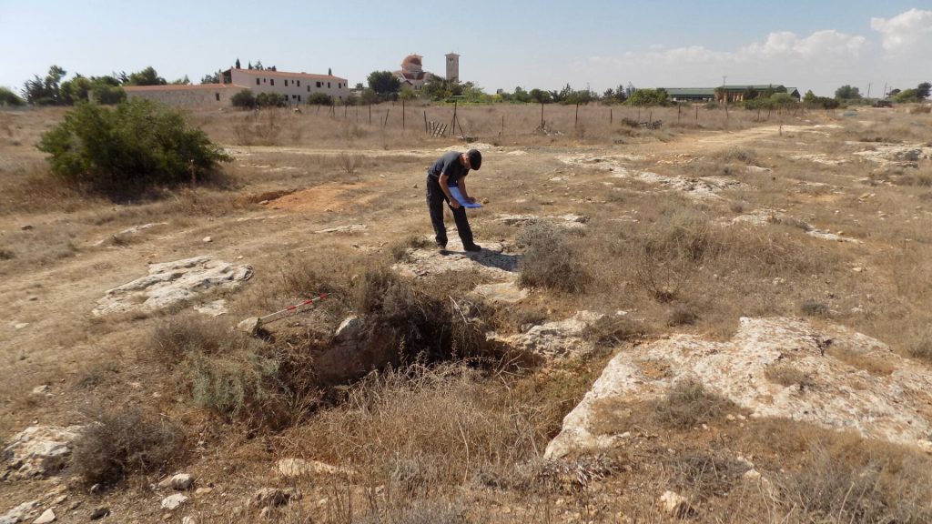
The purpose of the survey was to document and record the locations of all visible archaeological sites in the ESBA. In the 12-mile-long area, the research team was able to identify and document 51 sites of archaeological value.
“Lost” Bronze Age Tombs
Among the locations the team identified were five old and historic structures. Four of these were churches while the fifth one was the ruins of a watchtower.

More remarkably, the team located Bronze Age tombs that were thought to have been lost to history. Many of these locations had been recorded prior to the 1960s when the British military constructed the Kingsfield Airstrip and ESBA garrison.
Defining an “Archaeological Site“
According to Matt Beamish, a researcher with University of Leicester Archaeological Service, or ULAS, “A single tomb or wall footing might be a ‘site’ if no other evidence can be found in the vicinity and the feature is convincing.”
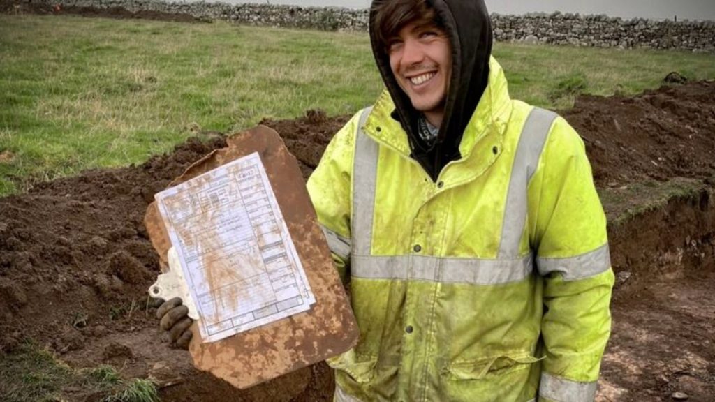
He continued, “Similarly, a building or a multitude of tombs in a cemetery covering a hectare or more would also constitute a site.”
Doing Their Homework
Prior to the walkover survey, the research team poured over old documents and maps, gathering as much information as they could about previously recorded archaeological sites.
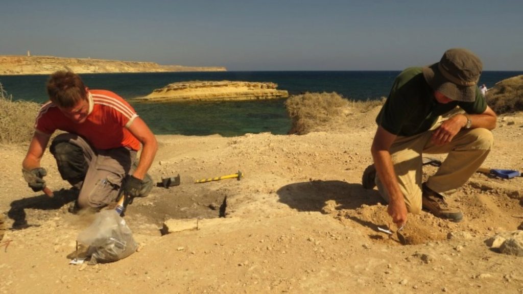
As Beamish explained, “Many of the sites we were planning to survey had been last visited over 20 years ago, and in many instances had been reported as no longer existing or being unfindable.”
“All the Sites Have Now Been Mapped“
“The only record that survived for four of the sites was a label annotation on a 1:25000 map,” Beamish said. “All the other sites survived to varying degrees in archive records although their locations were not mapped.”
As Beamish explained, the archaeologists had to do some detective work to piece together fragmented shreds of evidence to point them to some of the sites. But their hard work paid off. “All the sites have now been mapped,” according to Beamish.
“Lost” Due to Poor Mapping
In reality, many of the archaeological sites were not truly “lost.” Instead, they were the victims of poor mapping and record keeping. As Beamish noted, “On reflection, this had more to do with inadequate mapping, lack of preparation, and lack of satellite location technology.”
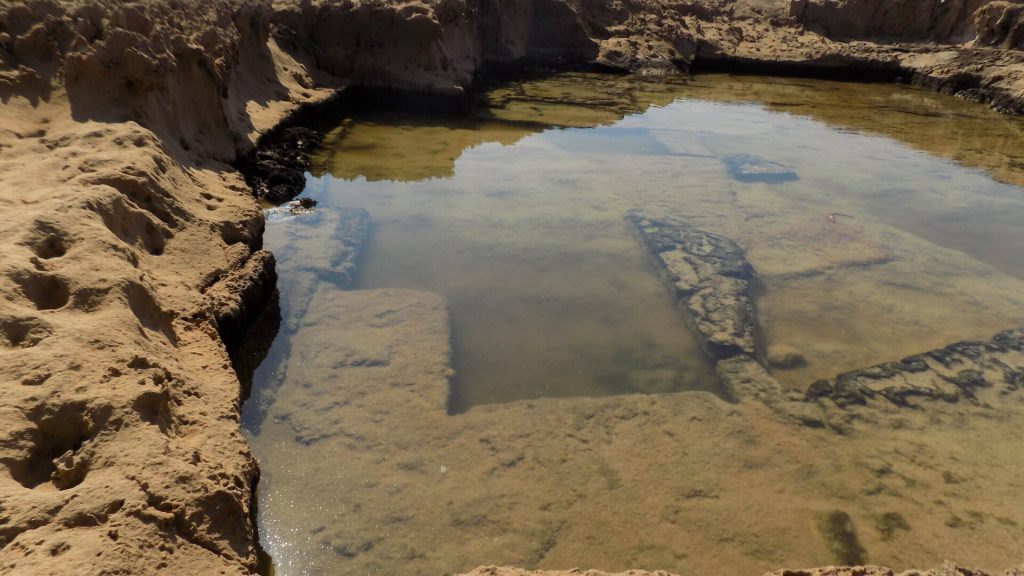
When the ULAS found a site, they recorded its GPS location and photographed the site. “We found that many of the sites could be re-found with a little bit of patience,” said Beamish. “Some sites had clearly been lost to the subsequent development of roads and buildings.”
Ancient Quarries
The ULAS team located and identified evidence of three different coastal quarries. The ages of these quarries are still unknown, but the archaeologists believe they are ancient quarries.
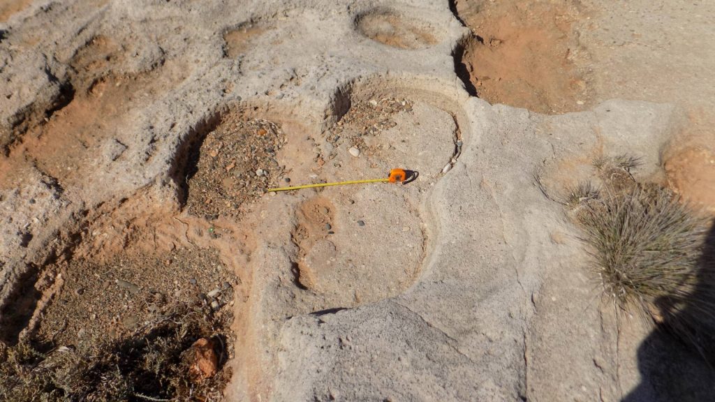
As Beamish explained, “We do not know the date of the quarries based on the work undertaken. It would be quite possible that they are of Roman origins.”
A Collection of Tombs
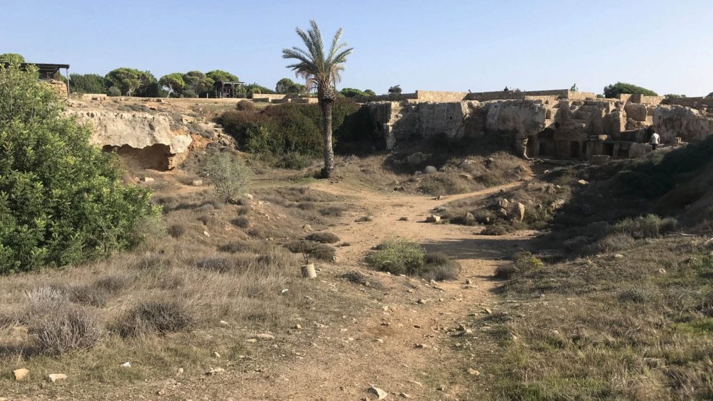
Perhaps the most significant discovery made during the walkover survey was a large cemetery located west of Xylotymbou, a Cyprus-ruled enclave within the ESBA area. According to Beamish, this cemetery is “extensive” with evidence of dozens of tombs.
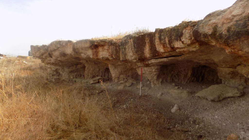
The age of this cemetery has not yet been determined, however some of the tombs that have been found were built into limestone caves or cut into rocks, indicating that they likely date to the Bronze Age.

