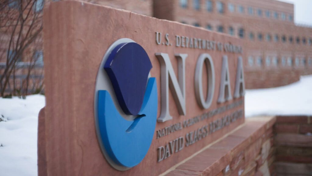
The National Oceanic and Atmospheric Administration has issued an ominous warning for parts of Texas unless we can halt the effects of global climate change. NOAA recently released a projection map showing how the coast of Texas could look by the year 2100.
Based on research into rising sea levels, NOAA’s projections spell doom for many of the coastal areas of the Lone Star State. Let’s examine the projection map in more detail.
Sea Levels Are Rising
Scientists with the Intergovernmental Panel on Climate Change, or IPCC, have reported that worldwide sea levels will rise between 1.4 and 2.8 feet by the year 2100. If that sounds like a lot, keep in mind that it has the potential to be worse.

Officials at IPCC have indicated that a rise in sea levels of up to 6.6 feet “cannot be ruled out.” As global temperatures rise and the polar ice caps melt, every coastal area will be impacted, including Texas.
The Expanding Gulf of Mexico
Texas currently boasts a coastline of about 367 miles long, stretching along the Gulf of Mexico. Its proximity to the Gulf of Mexico, however, puts Texas in danger.
The expanding Gulf of Mexico – which NOAA predicts could rise by three feet by the close of the century – could decimate low-lying areas such as Houston, Galveston, and Port Isabel. Of course, these areas have seen devastating flooding in the past.
The Galveston Hurricane of 1900
One of the most destructive and deadliest storms in U.S. history was the 1900 Galveston Hurricane. The massive storm struck Galveston, which is located on thin, low barrier islands off the Texas coast, on September 8, 1900.
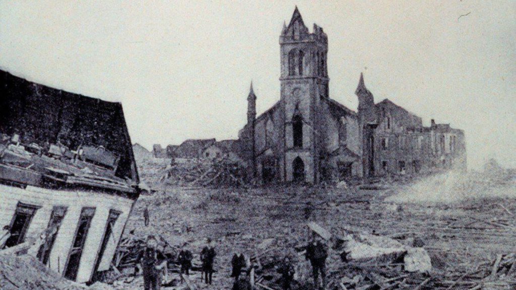
The hurricane was particularly deadly because people living in Galveston did not think that hurricanes could hit the western side of the Gulf of Mexico. When they received word of an approaching hurricane, they assumed it would turn north, just like every other hurricane had done.
A Direct Hit on Galveston
The people of Galveston were wrong. The city took a direct hit from the powerful storm. It has been estimated that the hurricane struck the island with wind speeds of up to 145 miles per hour. The city was overcome with a massive storm surge that washed over the island.
Between 8,000 and 12,000 people died in the flooding from the hurricane, more people than were killed in any other hurricane to hit the U.S. There were so many bodies to be buried that the present-day island is a giant graveyard. Engineers built up the island by bringing in dirt to pile on top of the hurricane victims.
Hurricane Preparation Plans
Following the tremendously devastating hurricane, Texas authorities took steps to protect Galveston from flooding and storm surges in the future. In addition to raising the elevation of the island, they also constructed a seawall.
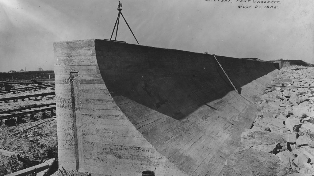
These proactive measures may help keep the streets of Galveston above water during a hurricane, but can they hold back the ocean indefinitely? If the sea levels in the Gulf of Mexico rise as NOAA and IPCC expect, the simple seawall will be no match for the long-term sea level changes.
Shrinking Galveston Island
In the face of rising sea levels, Galveston would shrink to a much smaller island. The areas that were built up following the 1900 hurricane would be the first to wash away. That would mean many of the popular tourist areas of the city would no longer exist.
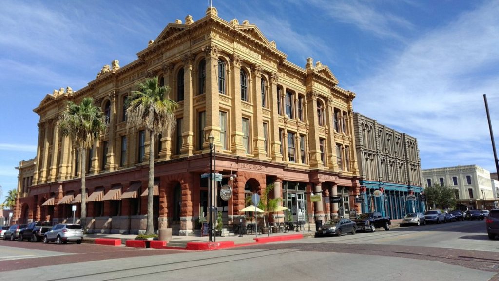
Both the Galveston County Historical Museum and the Strand History District of Galveston would be washed away. Scholes Airport would sit underwater.
Changing the Geography of the Lone Star State
In addition to consuming Galveston, a sea level rise of three feet or more would expand Trinity Bay and bring the coastline much closer to downtown Houston. It is likely that 146 – a major highway skirting Trinity Bay – would be underwater.
Bayou Wildlife Zoo would need to relocate the animals ahead of the encroaching water. The county’s fair and rodeo grounds will no longer exist.
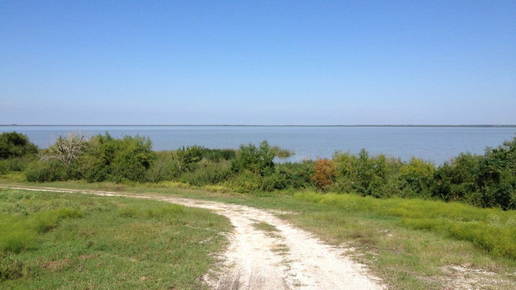
Nueces Bay Would Increase in Size
The area around Corpus Christi would also be greatly impacted by the rising sea levels. Right now, Nueces Bay is half the size of Corpus Christi Bay. But if sea levels rise as predicted, Nueces Bay would expand and push further inland.
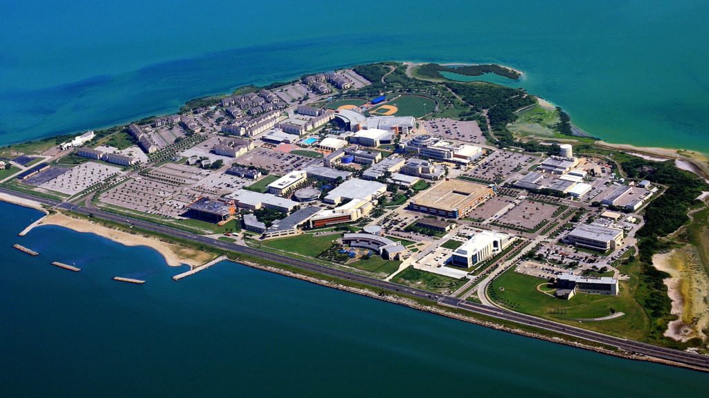
The Texas State Aquarium, Corpus Christi Airport, Texas A and M’s Corpus Christi campus, and the South Texas Botanical Gardens would all sit at the bottom of the Gulf of Mexico.
The Gulf of Mexico Would Swallow Texas Lakes
Many of Texas’s lakes located on the east side of the state would be swallowed up by the Gulf of Mexico’s rising sea levels. Green Lake and Oyster Lake would be victims of global climate change. So would the lakes in Vanderbilt and Jackson counties.
Lavaca Bay north of Corpus Christi would extend further inland than it already does. The waters of the bay may reach Highway 59 or even Highway 77.
Creating a New Peninsula
The increase in sea levels, according to NOAA’s map, would turn Freeport in Brazoria County into a newly created peninsula. The Brazoria and San Bernard National Wildlife Refuges would be devoured by the Gulf of Mexico.

Christmas Bay would take over all the low-lying, marshy land surrounding it until it was one of the state’s more prominent bays.
Wiping Away Historical Sites
Many historic landmarks and sites would be wiped away by encroaching floodwaters. For example, the San Jacinto historic battleground would be relocated to the bottom of Crystal Bay.

Likewise, Fort Valasco, the Point Bolivar Lighthouse, Fulton Mansion State Historic Site, USS Lexington Museum, Texas Sealife Center, and the Palmito Ranch Battlefield Historic Site would all be destroyed.
Erasing Bridges and Highways
Numerous roads, bridges, and causeways along Texas’s eastern coast will have to be rerouted if the Gulf of Mexico creeps too close. The I-10 bridge is one of them. So is the JFK Causeway.
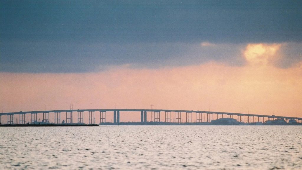
The Nueces Bay Causeway, the Lyndon B. Johnson Memorial Bridge, and the Galveston Causeway would all be ineffective.
The Worst Is Yet to Come
University of College London professor of ocean and climate science, David Thornalley, explained that the devastating rise in sea levels that will wash away much of Texas’s gulf coast by 2100 is just the tip of the iceberg. The worst is yet to come, he states.
In the next thousand years, the increase in global temperatures will cause continued melting of the polar ice caps and an even greater increase in sea levels. The waters of the Gulf of Mexico will encroach further and further into Texas’s interior.
The Antarctic Ice Sheets
The most vulnerable ice sheets, according to Thornalley, are the ones in the Antarctic. He explained that these are marine-based ice sheets, meaning that the bottom of the ice sheet actually sits on land, but that land is below sea level.
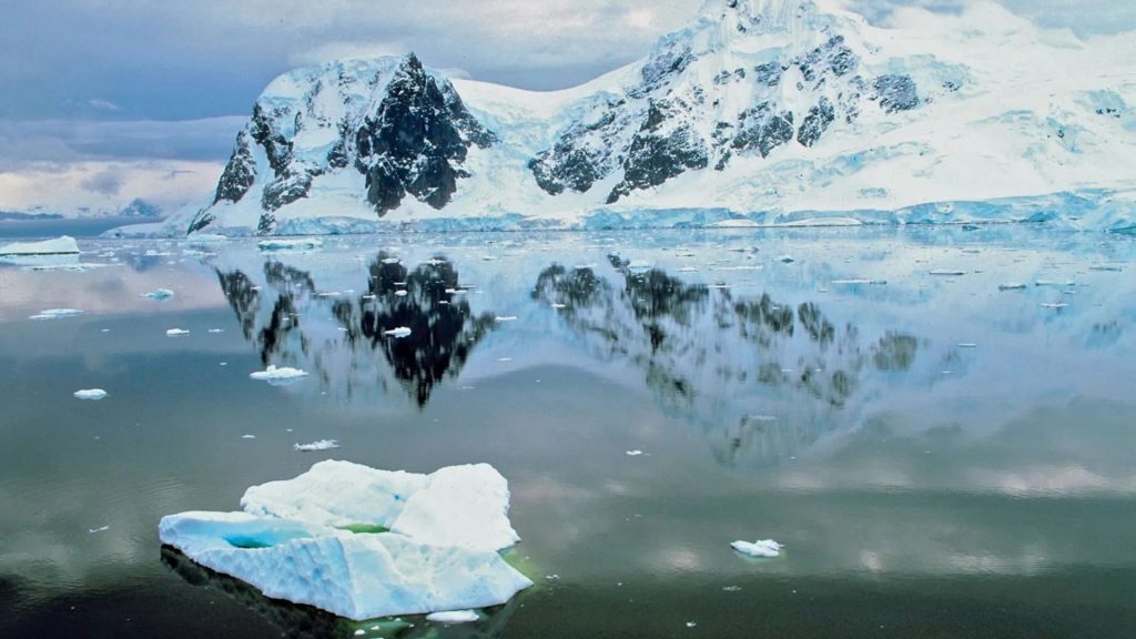
The water trapped in Antarctica’s ice sheets has the potential to increase global sea levels by as much as 190 feet. According to a scientific paper published in 2022, the Antarctic ice sheet could collapse in roughly 2,000 years. Other experts offer a wider range … between 500 and 13,000 years.
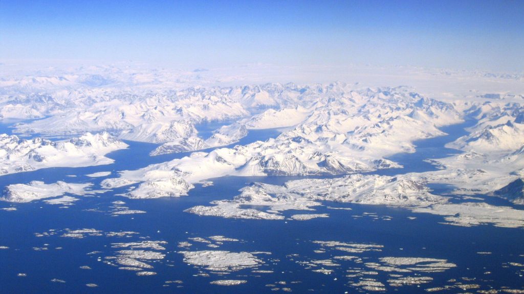
Greenland’s Ice Sheets
Greenland is also home to massive ice sheets. Once those melt, worldwide sea levels could increase by an additional 23 feet. The concern is that all of the world’s ice sheets could melt at the same time. If this were to happen, sea levels would increase by 216 feet.
Under this scenario, Houston would no longer exist. Several other areas of the United States would also be in trouble. Florida, for example, may disappear completely. Large parts of the Carolinas would, too. Both New York City and New Orleans would drown under the rising water.