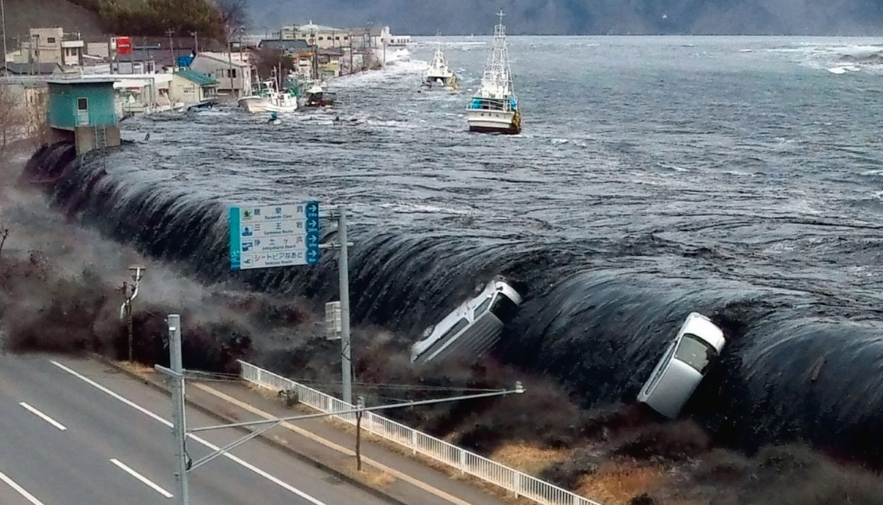
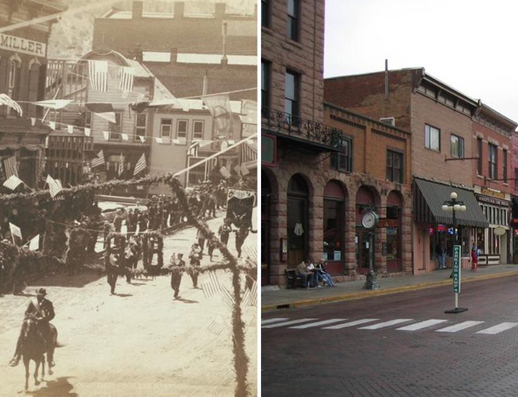
Crescent City, California, a coastal town just 20 miles south of Oregon, is no stranger to tsunamis. Over 32 tsunamis of varying sizes have battered the city since 1933 alone. But none compare to the utter devastation caused on the night of March 28, 1964, when four enormous tidal waves slammed into Crescent City in the wake of the largest tsunami ever recorded in California.
Southeast Alaska, British Columbia, Oregon, and Washington also suffered damage, but Crescent City took the brunt. The tsunami obliterated the downtown area, with damages exceeding $17 million.
Repeated Target of Destructive Tsunamis
Crescent City, California, has faced more tsunamis than almost any other city in the United States. Since 1933, over 32 tsunamis have struck the small coastal town, though most were minor. However, on March 28, 1964, Crescent City bore the brunt of the largest tsunami to ever hit California.

Four massive tidal waves battered Crescent City just before midnight. The tsunami was triggered by a magnitude 9.2 earthquake off the coast of Alaska, over 2,000 miles away.
The 1964 Crescent City Tsunami
The tsunami originated in Prince William Sound, Alaska, and was triggered by a magnitude 9.2 earthquake—the second-largest earthquake ever recorded in the U.S.

By the time the tsunami reached Crescent City, the waves had built up tremendous power and height. The highest wave was estimated at over 20 feet high.
Why is California a Tsunami Hotspot?
California experiences a high number of tsunamis due to its location along the Ring of Fire, an area in the Pacific basin with many active volcanoes and frequent earthquakes.

The majority of tsunamis affecting California originate in the northern Pacific Ocean, especially off the coasts of Alaska and Japan.
Geological Activity Causing Attributed To Tsunamis
The earth’s tectonic plates are constantly shifting and colliding along the Ring of Fire, producing underwater earthquakes that can generate tsunamis.

The Cascadia subduction zone, where the Juan de Fuca plate is sliding beneath the North American plate, poses a major threat to California.
California’s Low-Lying Coastline A Leading Cause of Tsunami Affliction
California has over 800 miles of coastline, much of which is low-lying and susceptible to inundation during a tsunami.

Crescent City, located in a coastal basin, has been hit by 32 tsunamis since 1933, including the largest tsunami ever recorded in the northern hemisphere.
First Impact of The Crescent City Tsunami
The first massive wave hit Crescent City just before midnight, flooding the low-lying parts of town and damaging harbor facilities and boats.

Residents had little warning before the water came rushing in, as tsunami warning systems were still primitive.
Multiple Hits on an Already Battered City
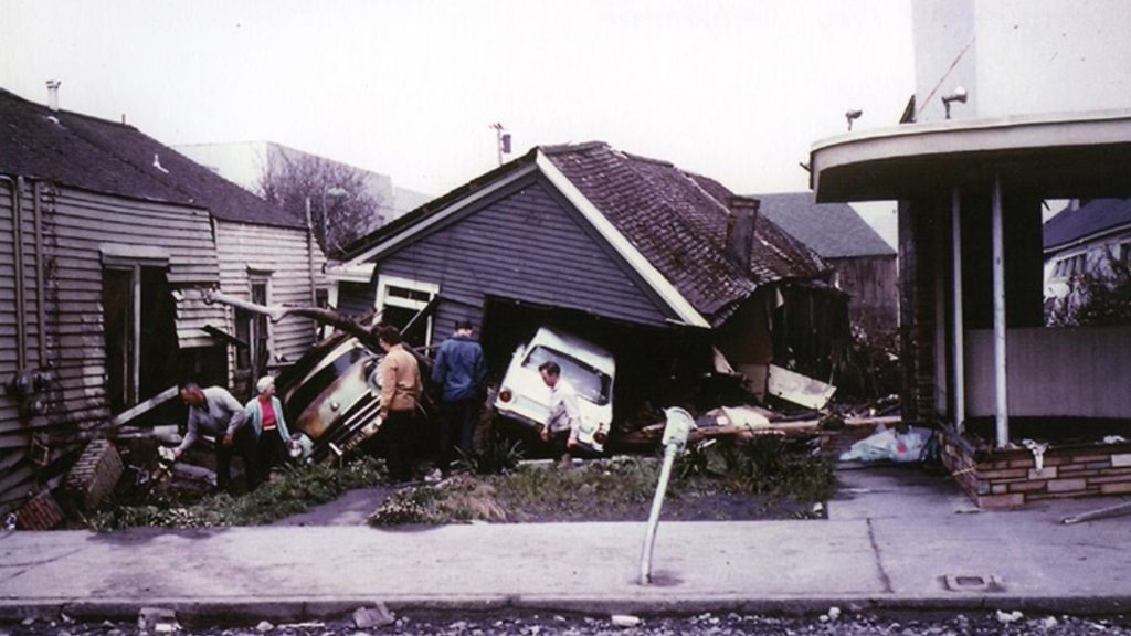
In total, four powerful waves battered Crescent City for several hours that night. The second and third waves caused the most damage, demolishing buildings, sweeping away vehicles and infrastructure, and flooding basements.
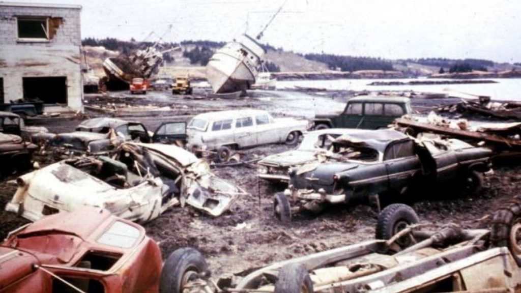
The tsunami waters stretched up to blocks inland, leaving debris and mud behind as they receded. The total damage was estimated at over $10 million, the equivalent of $80 million today.
12 Lives Lost in Tsumani Disater
Tragically, 12 people lost their lives during the tsunami in Crescent City, out of a total of 15 fatalities along the west coast. Some died as the waves hit, while others succumbed later to injuries or exposure.
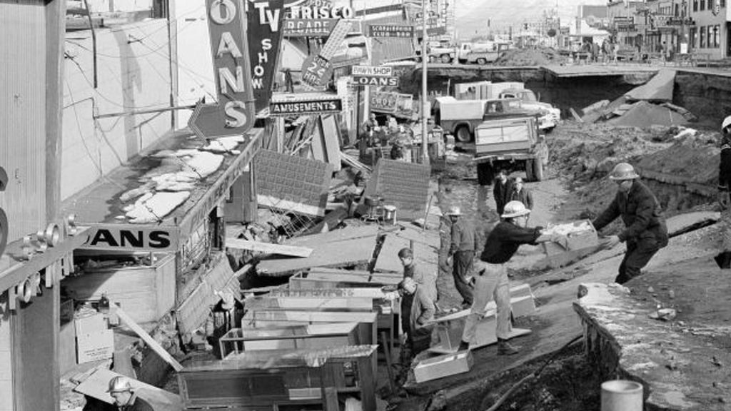
The tsunami occurred in the middle of the night, so many residents had no warning before the waves arrived onshore.
Tsunami Impacts Felt Along the Entire West Coast
The tsunami flooded coastal towns and destroyed docks and boats in Alaska. In Valdez, the waves sank four cargo ships and damaged the harbor. The tsunami traveled down the coast, flooding parts of Vancouver Island and knocking out power in British Columbia.

In Washington and Oregon, the tsunami caused flooding and damage to coastal infrastructure. In Westport, Washington, the tsunami demolished docks and sank several fishing vessels. In Astoria, Oregon, the waves damaged docks and boats and flooded low-lying areas of the city.
Improved Tsunami Warning Systems Protect Crescent City
Crescent City has learned from past disasters and now has state-of-the-art tsunami warning systems in place.

Since the catastrophic tsunami of 1964, the city has installed sirens, posted evacuation route signs, and developed emergency response plans to get residents to higher ground quickly.
Local Emergency Management on Standby
When a tsunami is detected, local emergency management activates the siren system to warn residents. The sirens are placed throughout the city with the goal of alerting all citizens.
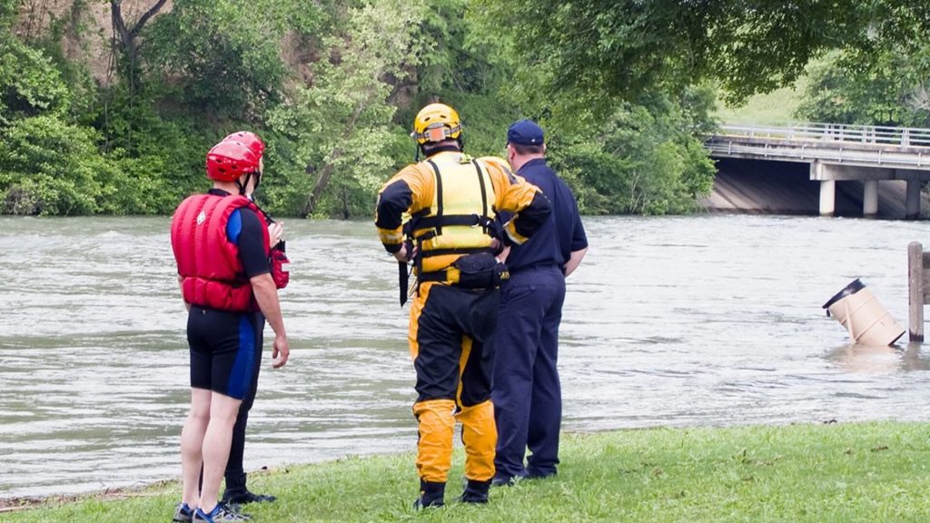
The sirens indicate that residents should immediately head to higher ground or evacuation centers, according to the posted maps.
Evacuation Plans Follow Specific Routes
Crescent City’s evacuation plan designates specific routes leading out of low-lying areas. The routes direct people to assembly points at local schools, churches, and government buildings at higher elevations.

Once at an evacuation center, citizens remain there until given an all-clear signal by emergency responders.
Tsunamis Monitored Via Seismic Activities and Water Levels
When an earthquake occurs that could produce a tidal wave, the system alerts local emergency management officials.
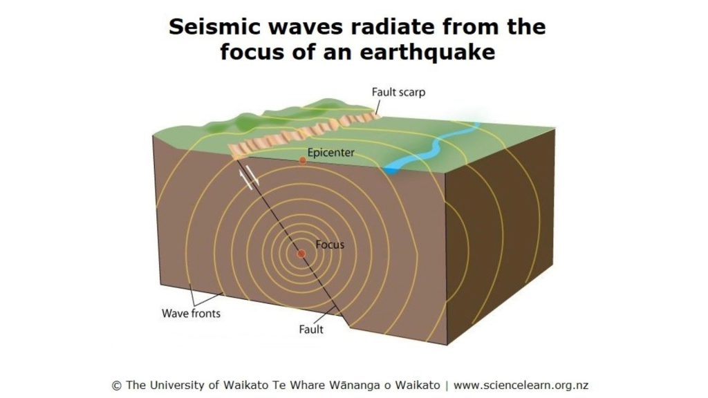
Even if a tsunami is detected far from Crescent City, the city may still issue an evacuation order since tsunamis can travel across the ocean without losing energy or height.
Crescent City Has Been on Alert Since 1964
Ultimately, the 1964 tsunami that hit Crescent City, California, stands as a sad reminder of the immense destructive power of these natural disasters.
Though the city has rebuilt and improved its warning systems, the event emphasizes the need for continued vigilance and preparation along the West Coast.

